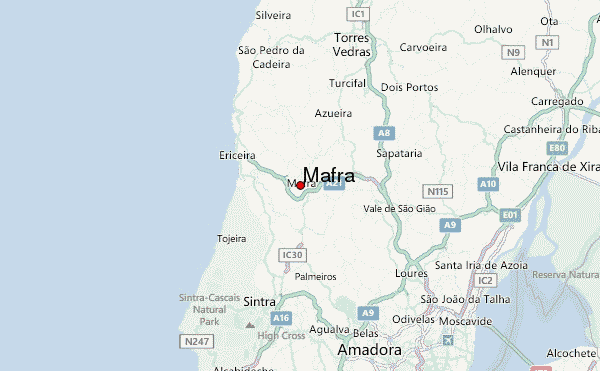
An old map have revealed that the present day proposed republic of Biafra was in parts of Cameroon, Gabon and Equatorial Guinea.
Just as the boundary, the name ‘Biafra’ itself right from its Portuguese origins, through colonization to Ojukwu’s, Uwazuruike’s and the slippery Nnamdi Kanu’s era has no known ancestralal basis and linkages in present-day Nigeria’s Igboland.

This as raised a serious question “Why Fight for a Country That Doesn’t Exist”?

According to the Portuguese, the present-day Igboland was a Benin territory, or a vassal state of the Kingdom. The real ‘Biafra’, being in Cameroon, Equatorial Guinea and Gabon indicated a massive Igbo migration in earlier centuries that limited the Benin Kingdom to the swampy and less agriculturally viable parts of the Kingdom.

From these maps, the Biafra agitators should relocate back to their ancestral lands in Cameroon, Equatorial Guinea and Gabon, and any claims to ‘Biafra’ and its independence should also start from from those lost territories.


